We have a bit of abandoned road running through the center of the property. When we first acquired the farm, I had to start coming up with names, and I named things after Cincinnati landmarks. The road runs from the house to the family campground at the south end of the property and continues on through the neighbor’s plot to a ford on Pity Creek. The path is an abandoned segment of the old Browningsville-Powersville Road that winds through the center of our property. The family that owned our farm kept it open so their extended family could all ride to church in one wagon. Once that ended, Browningsville was already abandoned, the road fell into disuse. That was well over 100 years ago. The modern paved road ends at our house.
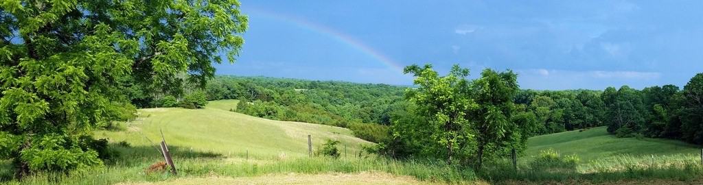
Vine Street in the Spring


Back in the spring, I had just come from the appointment with the oncologist where I had scheduled my Chemo treatments. I drove out to the farm and went turkey hunting the next day. I bagged a nice gob and then. . . well, I spent a good long time walking back to the house. The illness was taking a toll. I could not go more than 50 yards at a time without getting gassed with that 20-some-pound bird on my back.
So there it was,, the end of October, I was done with Chemo and slowly crawling out of the hole that the cancer left me. To put a bit of closure on things, I thought I’d repeat the hike and show y’all what Vine Street looks like in the fall. The original trip was through a foggy morning in spring. This time, I was hiking on a bright fall afternoon.


Views: 5