A Walk Along Vine Street
Walking out from the Honey Hole the other day presented me with a bit of a logistics problem. I had only a half-mile or so to walk, but I was schlepping a 23 lb bird on my back. I am due to start chemo on Monday, and I must admit that despite feeling great, my energy level is not the best. I ended up carrying the bird on my back with my full kit in 50-yard increments. Then I would stop, rest a bit and go on. Before I tackled the last 200 yards going to the house, I stopped for a rest and drank a cup of coffee. All told, it made a 15 minute trip into a one-hour slog.
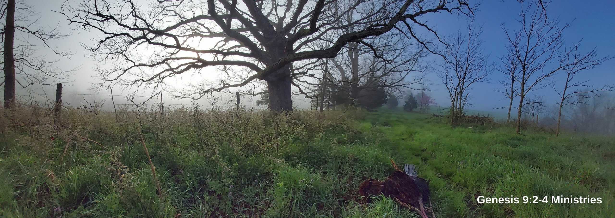
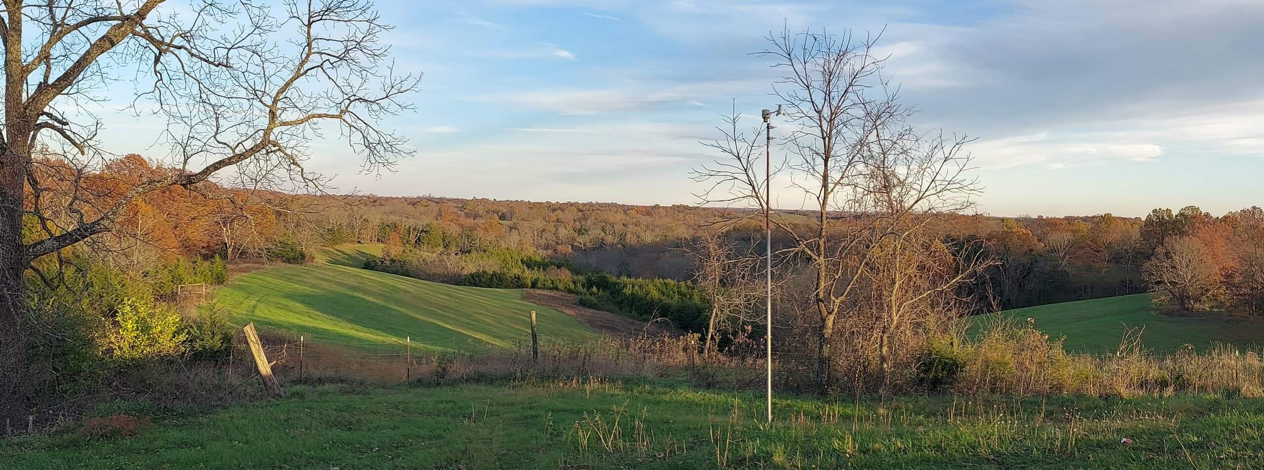
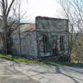
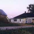
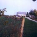
I had the idea of taking the opportunity to take a photos every time I stopped — both up and down the path. When I got back home, I got them separated out, and this left me with the makings of a photo record of a journey up and down Vine Street.
Just so you know, Vine Street is the name given to the old abandoned road that runs down the center of our property. Early on, I named features on the property after Cincinnati landmarks. Our Vine Street is the extension of the public road that runs in front of our cabin. It used to be the main road between Browningsville and Powersville. However, when Browningsville was abandoned in the early 20th Century, it ceased to be of importance. The family that owned our place kept the road open for a time, so the various households could all travel to church in one wagon. Eventually, it was allowed to grow up. What is left of it is a few ruts, a fence line, and a number of giant White Oak trees that used to line the road.
This post has already been read 363 times!
Views: 5


Comments
A Walk Along Vine Street — No Comments
HTML tags allowed in your comment: <a href="" title=""> <abbr title=""> <acronym title=""> <b> <blockquote cite=""> <cite> <code> <del datetime=""> <em> <i> <q cite=""> <s> <strike> <strong>