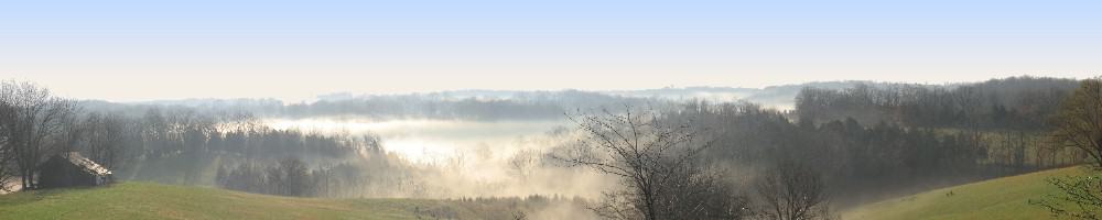
You’ll frequently see references to various place names where we hunt. I’ve included a photo album so you can get some idea of what I’m saying.
Back in 2001, when we got the farm, I quickly realized that 200 acres was a big place. I also realized that unless I got on top of the problem, the family was going to have trouble describing where they were, or where they intended to hunt. I set about naming the obvious features. Over time, that list grew and became more and more complicated and granular.
In those first few years, I went about naming things according to whim while others were already named. The east and west boundaries are named creeks. To the west is Yellow Willow Creek. To the west is Pity Creek. The latter is named for a widow that raised a whole passel of kids in a small shack up the creek, north of the boundary line. Heartbreak Ridge was named that because young Mooseboy got down to the lowest elevation in the southeast corner and announced he was tired and was not going to hike anymore. I nearly had to kick him back up the hill. Others drew on Winnie the Pooh (Poo Corner, Hundred Acre Wood, The Thoughtful Spot) and Monty Python( Fawlty Towers, Dead Parrot, Dimmsdale)
The first standardization I attempted to make was in naming the features along the centerline. This is a fenceline and what remains of the old Browningsville road. It fell out of use about 80 years ago, but it still divides the property down the middle of the major N/S ridge. Over time, two tracks had formed– one to either side of an old fenceline filled with massive white oaks. I named one side Vine Street, and the other Walnut for the main N/S streets in downtown Cincinnati. After that, there were a bunch of features that fell right into place. Fountain Square was where all these tracks met up. Surprisingly, we never could agree which was Vine and which was Walnut. It really doesn’t make much difference; there are less than 30 yards between them. However, it figures into one basic farm rule: if you go out Vine, come back Walnut. That saves wear and tear on the roads. A lot of place names come from Cincinnati places and streets– Hollywood, Oakknoll, etc. Others come from… well, nobody questions the origin of places like Gobbler’s Knob, Dead Skunk Hollow, and so on.
After a few years. I realized that we were still creating chaos. By that time, we had maybe 30 place names– hunting stands, places to camp, etc. However, the organization was haphazard. I instituted a naming convention. From then on, if you were going to name a place, a treestand, a campsite, or whatever, you had to use the same first letter as whatever was already there. As a result, when we put up Angus’ ground blind on Left Leg Creek, we called it Lazy Boy. When we added a stand out past the Garbage Pit, we called it Glenway. That helped. I also designated arbitrary pick-up points in the middle of each zone. They had no other significance than they were easy spots to remember and they were easy to get a truck in. That gave us places like Point Victor, Point Charlie, Point Delta and so on. When I’m calling for a pickup at the end of the day, I can ask to be met at Point Victor, and the driver knows to roll out towards the campground and where the road back to Virginia branches off, he’ll be able to find me.
Virginia: there’s a name for you. It has a bunch of hidden meanings. I gave it to Mooseboy when he started hunting on his own; at the time we had never hunted it. It was also a reference to an Ivor Biggun tune about hillbillies that included “‘Cause halfway up Virginia is where I want to be!” Moose’s first stand is just that– halfway along the top of the ridge. That begat a series of names for the finger ridges that spread out in that part of the farm. On one side, you’ve got Left Leg Creek, on the other, Right leg. There’s also a little nub that we call the Middle Leg. You get the idea.


.jpg")


.jpg")


Hunting Venues